Čajetina - Project GIS realization
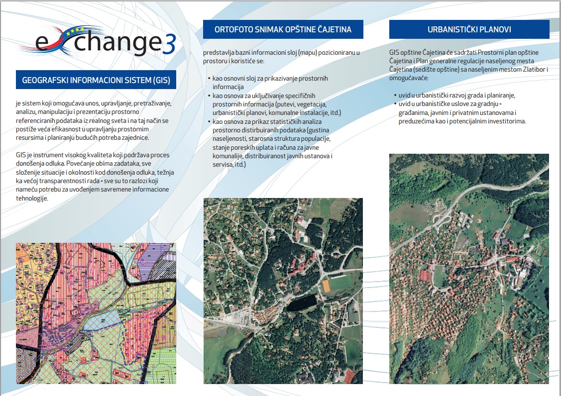
At the press conference, representatives of Docus from Cacak presented the application of GIS to the orthophoto image of the municipality of Čajetina with processed data: roads, vegetation, urban plans, utility installations.